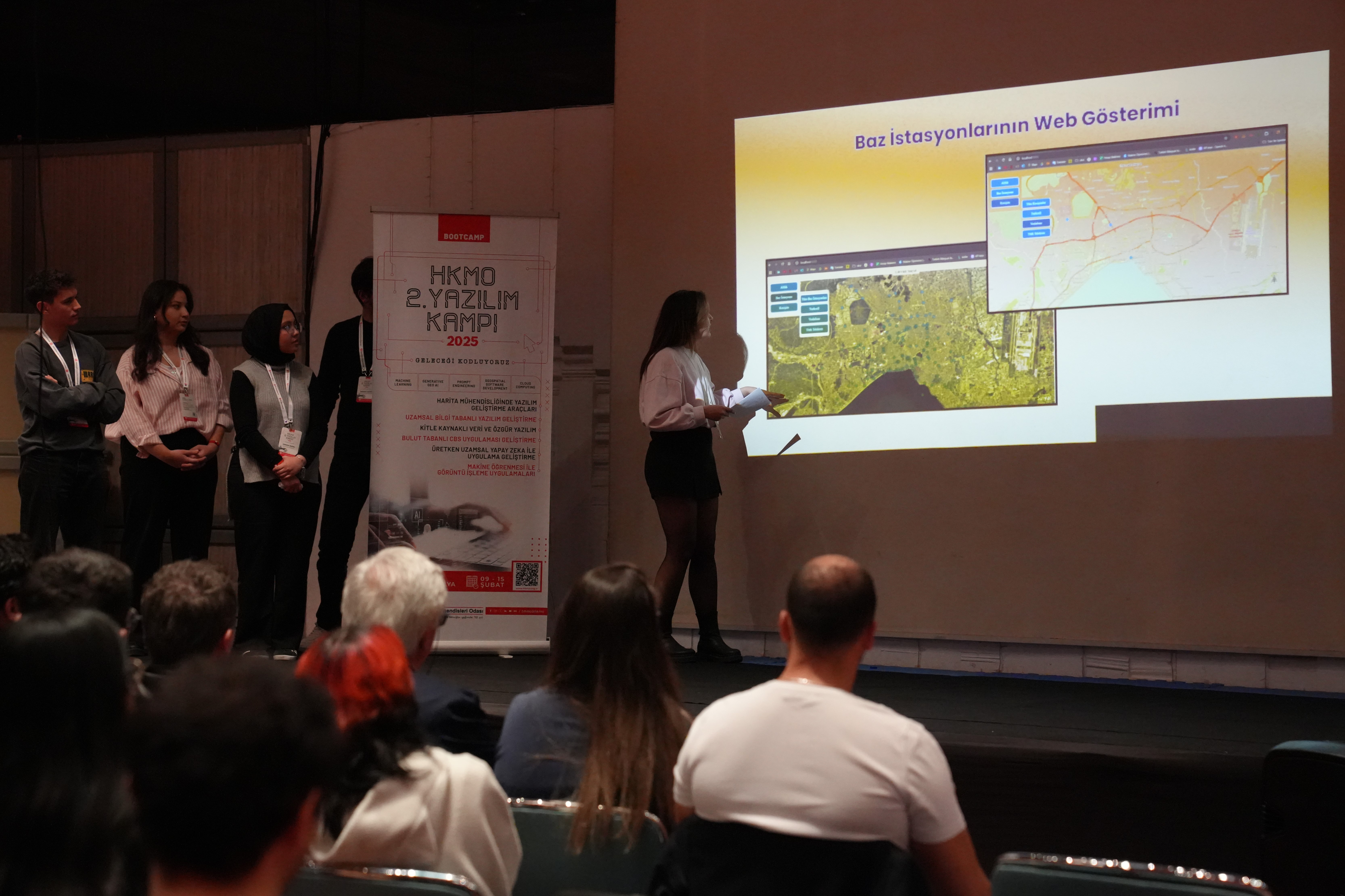
HKMO 2. Yazılım Kampı
Attended workshops on GIS software development and collaborative problem-solving. Strengthened teamwork and technical adaptation in real project environments.
I am Zeynep Ceren Erdem, a senior Geomatics Engineering student at
Hacettepe University.
My academic and professional interests focus on Geographic Information Systems (GIS),
Remote Sensing, Image Processing, and Spatial Data Management.
I have experience in Python, QGIS, Google Earth Engine, Agisoft, PostgreSQL/PostGIS, and BelsisCAD.
My background is supported by internships at Başarsoft and Belsis,
where I worked on software analysis, system documentation, and product testing.
I actively participate in HKMO Software Camp,
HKMO Scientific and Technical Congress, and the Young Surveyors Symposium,
following recent developments in the field and strengthening my professional network.

I contributed to software analysis processes by gathering requirements, examining workflows, and defining system needs. I transformed user requirements into technical documentation, improved my ability to create flowcharts and UML models, and supported team communication using project management tools (Jira, Confluence). This experience strengthened my analytical thinking, attention to detail, and systematic problem-solving.

I examined product drawings using BelsisCAD and performed technical checks. I took part in testing processes to observe compliance with quality standards. I gained experience in teamwork, documentation, and careful analysis, and this internship strengthened my core engineering skills in product development and testing.
“Maps tell stories — and I’m here to draw mine.”