My Projects
A selection of academic and technical projects reflecting my work in GIS, remote sensing, and GNSS engineering.

GNSS SPP – MERS Station Project
Computed 3D coordinates of MERS GNSS station using C/A code observations and SP3 orbits. Atmospheric corrections were implemented in Python and validated via least squares adjustment.
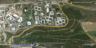
Remote Sensing – Beytepe Modified
Image processing and spectral analysis on Beytepe region using remote sensing methods. Includes TIFF imagery, point data, and detailed reports documenting preprocessing and classification.
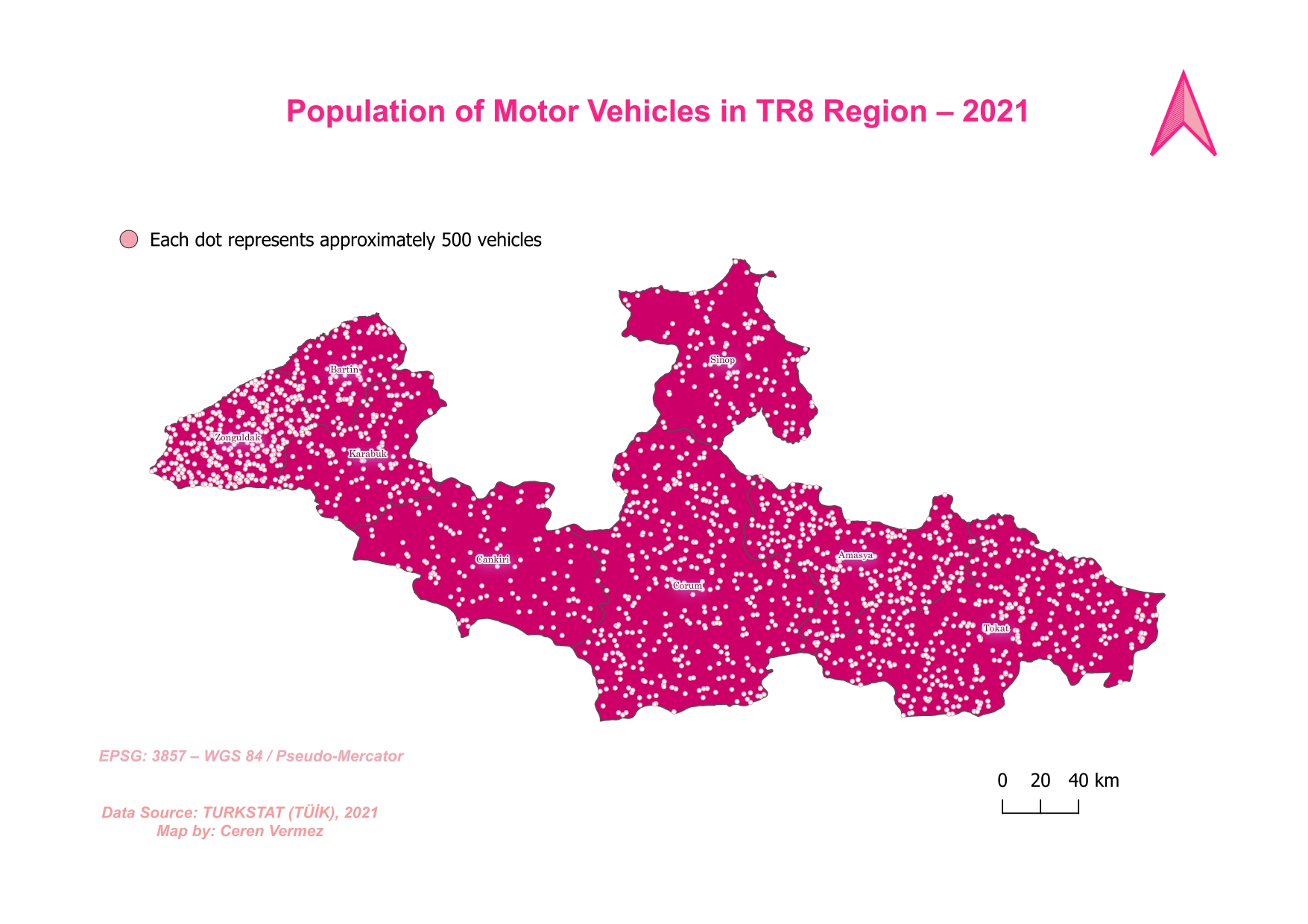
TR8 Thematic Map Project
Created thematic and dot density maps for the TR8 region (2021) using QGIS. Combined population and motor vehicle datasets to visualize regional spatial distribution.